

Plus, receive recommendations and exclusive offers on all of your favorite books and authors from Simon & Schuster.
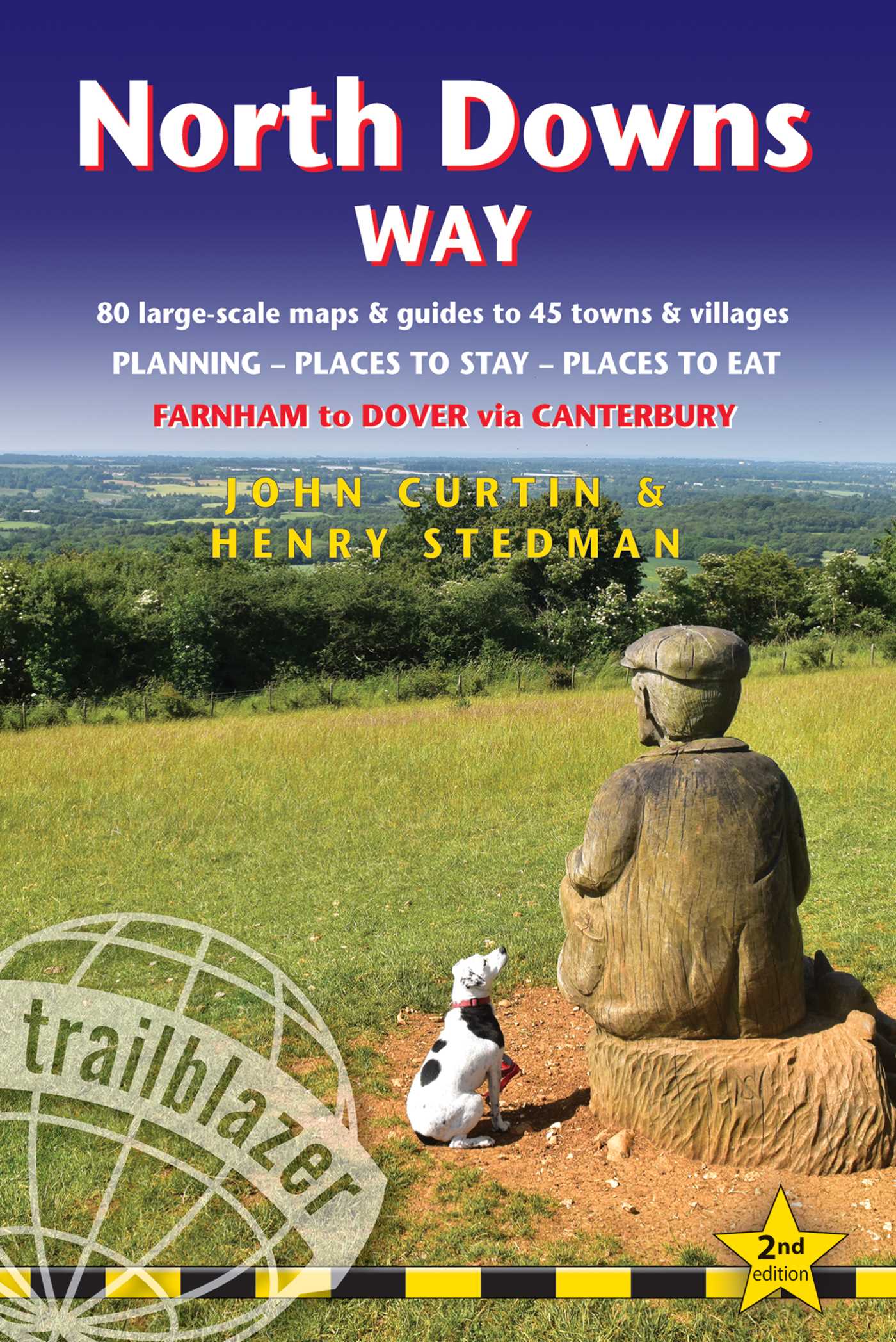
North Downs Way
Farnham to Dover - includes 80 Large-Scale Walking Maps & Guides to 45 Towns and Villages - Planning, Places to Stay, Places to Eat
Part of British Walking Guides
By John Curtin and Henry Stedman
Published by Trailblazer
Distributed by Simon & Schuster
LIST PRICE $19.95
PRICE MAY VARY BY RETAILER
Free shipping when you spend $40. Terms apply.
Buy from Other Retailers
Table of Contents
About The Book
A 131-mile National Trail, the North Downs Way runs from Farnham in Surrey to Dover in Kent, partly following the old Pilgrims' Way to the shrine of St Thomas à Becket at Canterbury. It winds its way through the protected landscape of the Surrey Hills and the Kent Downs, passing medieval churches, castles, Neolithic burial sites, vineyards and numerous WWII defences. There are literary associations with Swift, Cobbett, Dickens and Jane Austen.
The guide includes:
1. Unique mapping features – In many walking guides the reader has to read a route description then try to relate it to the map. Our guides are easier to use because walking directions, tricky junctions, places to stay and eat, points of interest and walking times are all written onto the maps themselves in the places to which they apply. With their uncluttered clarity, these are not general-purpose maps but fully-edited maps drawn by walkers for walkers. Downloadable GPS waypoints also included.
2. The largest scale walking maps available – At just under 1:20,000 (8cm or 31/8 inches to 1 mile) our maps are bigger than even the most detailed walking maps currently available in the shops.
3. An all-in-one guide – Trailblazer guides include practical information not usually found in walking guides to the UK: reviews of places to stay, places to eat, attractions along the way and detailed public transport information showing all access points on the path, for weekend and day walkers.
Product Details
- Publisher: Trailblazer (October 7, 2018)
- Length: 208 pages
- ISBN13: 9781905864904
Browse Related Books
Resources and Downloads
High Resolution Images
-
Book Cover Image (jpg): North Downs Way
2nd Edition Trade Paperback 9781905864904


")


