Plus, receive recommendations and exclusive offers on all of your favorite books and authors from Simon & Schuster.
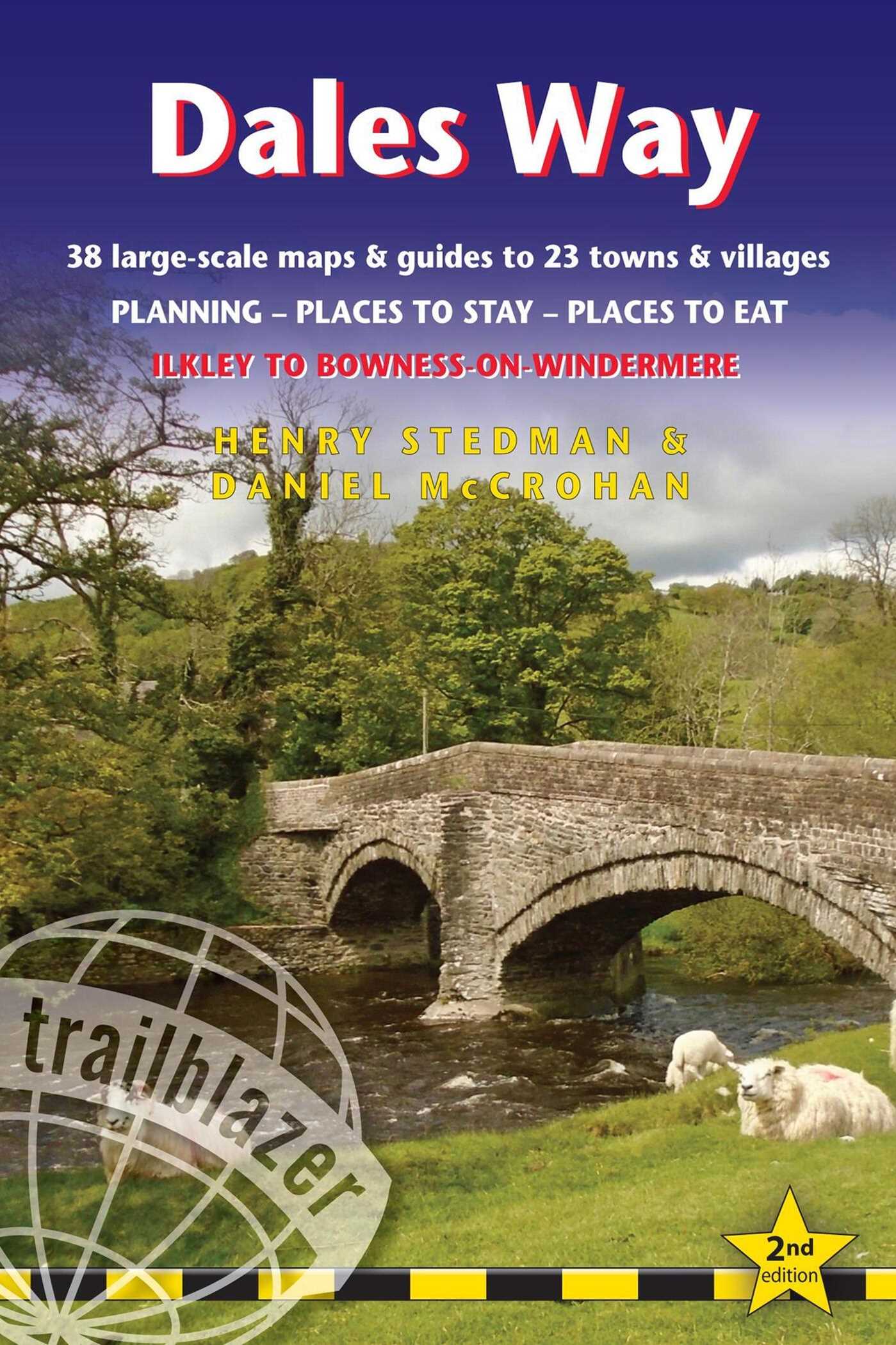
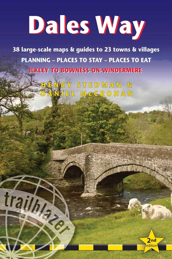
Dales Way
British Walking Guide: 38 Large-Scale Walking Maps (1:20,000) & Guides to 33 Towns & Villages - Planning, Places to Stay, Places to Eat - Ilkley to Bowness-on-Windermere
Part of British Walking Guides
By Henry Stedman and Daniel McCrohan
Published by Trailblazer
Distributed by Simon & Schuster
LIST PRICE $19.95
PRICE MAY VARY BY RETAILER
Get 20% off with code FALL26 plus free shipping on orders of $40 or more. Discount on physical products only. Terms apply.
Buy from Other Retailers
Table of Contents
About the Book
The popular Dales Way long-distance footpath begins in Ilkley, West Yorkshire and runs for 84 miles (135km) to end in the Lake District, in Bowness-on-Windermere. It follows riverside paths along the River Wharf towards Ribblehead and the watershed of northern England, then meanders along the river valleys of Dentdale, the River Mint and the River Kent dropping down into the Lake District to end beside Lake Windermere. It's a relatively easy walk that takes about a week.
Includes 38 large-scale maps (3 1/8 inches to 1 mile); 9 town plans and 8 overview maps. Full details of all accommodations and campsites, restaurants and pubs; plus full public transport information. Plus day-walks.
• 38 large-scale walking maps – at just under 1:20,000 – showing route times, places to stay, points of interest and much more
• 9 town plans
• 8 area maps and trail profiles
• Itineraries for all walkers – whether walking the route in its entirety over a week or sampling the highlights on day walks and short breaks
• Practical information for all budgets – camping, bunkhouses, hostels, B&Bs, pubs and hotels; Ilkley to Bowness-on-Windermere – where to stay, where to eat, what to see, plus detailed street plans
• Comprehensive public transport information – for all access points on the Dales Way.
• Flora and fauna – four page full color flower guide, plus an illustrated section on local wildlife
• Green hiking – understanding the local environment and minimizing our impact on it
• Includes downloadable gps waypoints
Includes 38 large-scale maps (3 1/8 inches to 1 mile); 9 town plans and 8 overview maps. Full details of all accommodations and campsites, restaurants and pubs; plus full public transport information. Plus day-walks.
• 38 large-scale walking maps – at just under 1:20,000 – showing route times, places to stay, points of interest and much more
• 9 town plans
• 8 area maps and trail profiles
• Itineraries for all walkers – whether walking the route in its entirety over a week or sampling the highlights on day walks and short breaks
• Practical information for all budgets – camping, bunkhouses, hostels, B&Bs, pubs and hotels; Ilkley to Bowness-on-Windermere – where to stay, where to eat, what to see, plus detailed street plans
• Comprehensive public transport information – for all access points on the Dales Way.
• Flora and fauna – four page full color flower guide, plus an illustrated section on local wildlife
• Green hiking – understanding the local environment and minimizing our impact on it
• Includes downloadable gps waypoints
Product Details
- Publisher: Trailblazer (August 1, 2023)
- Length: 192 pages
- ISBN13: 9781912716302
Browse Related Books
Raves and Reviews
The Trailblazer series stands head, shoulders, waist and ankles above the rest. They are particularly strong on mapping.
– The Sunday Times
Resources and Downloads
High Resolution Images
-
Book Cover Image (jpg): Dales Way
2nd Edition Trade Paperback 9781912716302