Plus, receive recommendations and exclusive offers on all of your favorite books and authors from Simon & Schuster.
Published by Pelagic
Distributed by Simon & Schuster
LIST PRICE $93.99
PRICE MAY VARY BY RETAILER
Free shipping when you spend $40. Terms apply.
Buy from Other Retailers
Table of Contents
About the Book
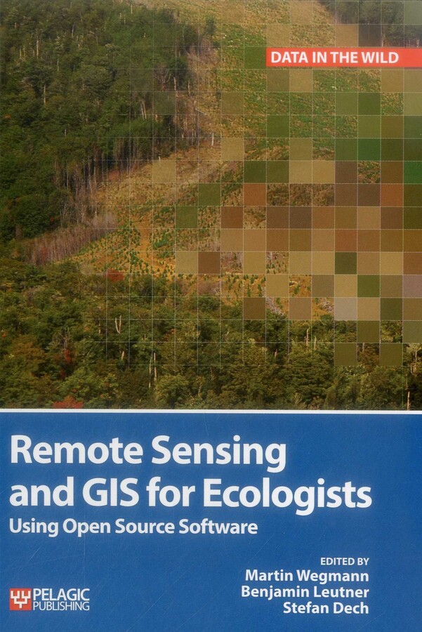
This is a book about how ecologists can integrate remote sensing and GIS in their daily work. It will allow ecologists to get started with the application of remote sensing and to understand its potential and limitations. Using practical examples, the book covers all necessary steps from planning field campaigns to deriving ecologically relevant information through remote sensing and modelling of species distributions.
All practical examples in this book rely on OpenSource software and freely available data sets. Quantum GIS (QGIS) is introduced for basic GIS data handling, and in-depth spatial analytics and statistics are conducted with the software packages R and GRASS.
Readers will learn how to apply remote sensing within ecological research projects, how to approach spatial data sampling and how to interpret remote sensing derived products. The authors discuss a wide range of statistical analyses with regard to satellite data as well as specialised topics such as time-series analysis. Extended scripts on how to create professional looking maps and graphics are also provided.
This book is a valuable resource for students and scientists in the fields of conservation and ecology interested in learning how to get started in applying remote sensing in ecological research and conservation planning.
All practical examples in this book rely on OpenSource software and freely available data sets. Quantum GIS (QGIS) is introduced for basic GIS data handling, and in-depth spatial analytics and statistics are conducted with the software packages R and GRASS.
Readers will learn how to apply remote sensing within ecological research projects, how to approach spatial data sampling and how to interpret remote sensing derived products. The authors discuss a wide range of statistical analyses with regard to satellite data as well as specialised topics such as time-series analysis. Extended scripts on how to create professional looking maps and graphics are also provided.
This book is a valuable resource for students and scientists in the fields of conservation and ecology interested in learning how to get started in applying remote sensing in ecological research and conservation planning.
Product Details
- Publisher: Pelagic (March 21, 2016)
- Length: 324 pages
- ISBN13: 9781784270230
Browse Related Books
Resources and Downloads
High Resolution Images
-
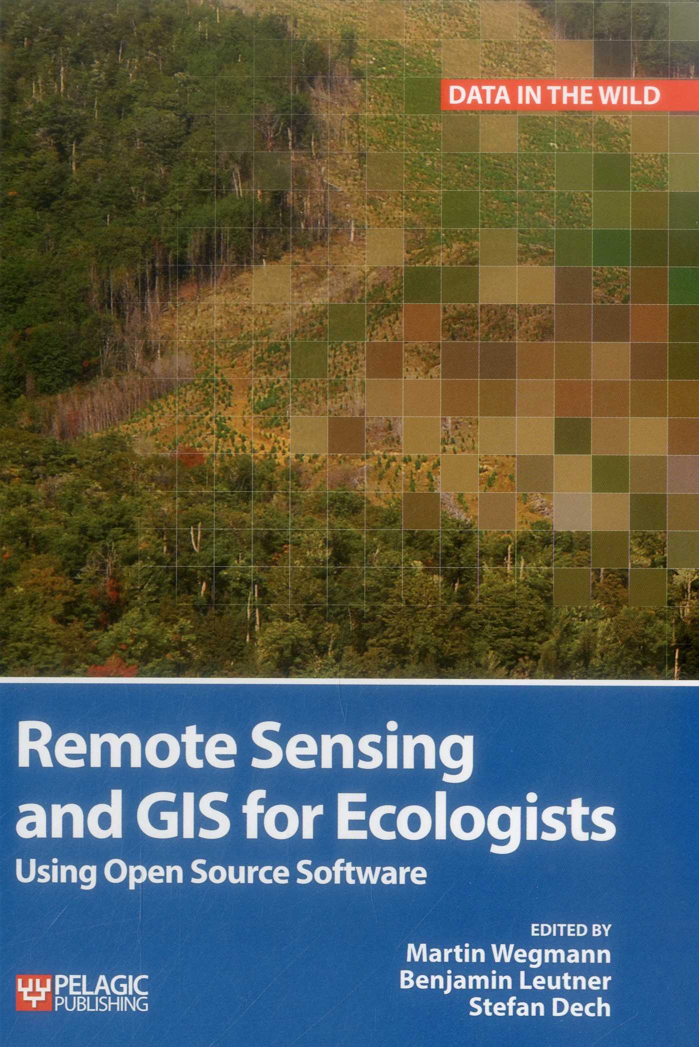
Book Cover Image (jpg): Remote Sensing and GIS for Ecologists
Hardcover 9781784270230